


Driving home is inevitably a foray into past lives. Being in Medford the overlap of past and present is impossible to ignore. Every neighborhood has memories— that’s where Carmen lived when we were little, that’s where I babysat in high school, that’s where that church is where I had my first choir solo, how do you get to the restaurant? Go like you’re going to Tracy’s, but turn right over where Michael used to live. It’s a network of landmarks that are connected by strings of memory, which all add up to… my life.
Medford’s web of memory is dense, layered, and sometimes tangled. Those memory strings reach out away from the city too, out into the woods where we used to go camping, up to the mountain where I broke my arm snowboarding, twisting along back roads, winding up trails, and pausing at vistas.
If I imagine this on the map, zoomed out, I see Medford as a bright glowing point, with tendrils of light reaching out across the region, and little satellite dots of light marking other childhood places across the country. If you were to look at this map you would notice that the strongest of those tendrils is reaching south, threading a course from Medford to the Bay, shining bright with years of I-5 travel.
This is what I mean when I say that driving home is inevitably a foray into past lives.
Come with me…
I leave my apartment and I get on the 80. I’m thinking about the cats, realizing that I forgot something, wondering how it is that I always leave for a road-trip exactly an hour later than I wanted to. I call my mom and then my sister. I put on some driving home music, Chicken Fried is the first song that comes on shuffle.
I’m driving out towards Davis now and I’m thinking about Tom and how much I’m going to miss him and Pia being out there. You know those friends that you don’t see very often, but knowing that they’re around is somehow extremely comforting? Yeah. As I get close to the Nut Tree I think about that one time we were driving down and my dad missed the 505 turn off in the middle of the night. We started seeing signs for LA before realizing something had gone wrong.
The 505 cuts through rolling hills with no people on them, only cows, and as I drive through those hills I’m thinking about how big California is, and how much of it is empty.
I merge on to I-5N at Bill & Cathy’s. I’ve never seen anyone going in or out of that place, but it’s a landmark all the same. It’s a shame that when people talk about California, no one is talking about Yolo County, all the cows, all the orchards, the labor force, the working conditions. It’s hot out here this time of year. 110 or so. Too hot to be out working in the middle of the day. In the summer of 2018 I spent a lot of time in orchards like these, in conditions like this. It was one of the bad fire years, and we were passing masks around to help with smoke inhalation. Air quality warnings only mean so much when you’re getting paid by the piece, and the window to harvest is short. I’m not sure what the paid-by-piece laws are in CA, I should do some research.
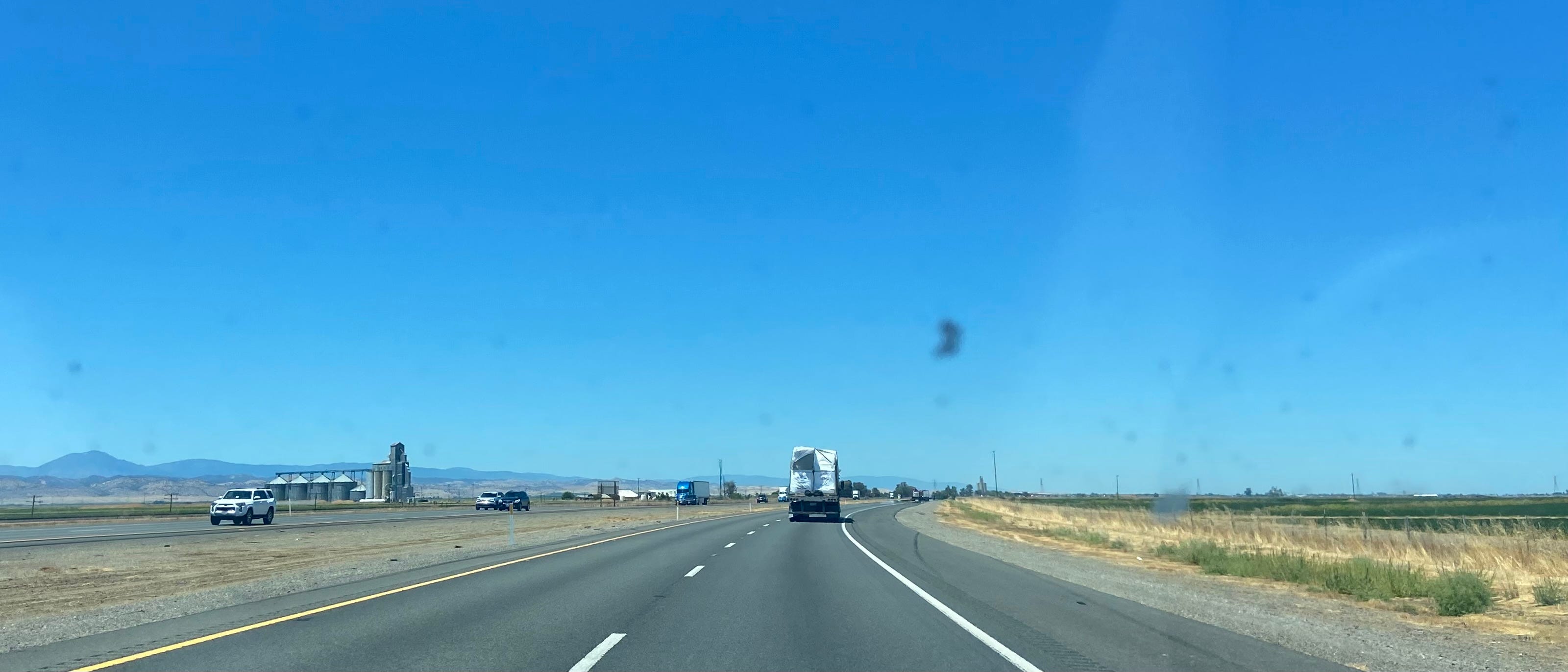
Colusa County comes and goes. I think the same thought as everyone else, “who lives out here?” But as a curious person, I actually want to know. It’s a little game to play, piecing together the story of a place. There’s a lot of rice production in Colusa County, an easily gleanable fact based on the many many rice fields that are up against the freeway. The Colusa Rice Company seems to be the biggest name in town, and they are drying and storing a lot of rice. You can see their facility (the Niagara Rice Drying & Storage Facility) from the freeway, so obviously I looked them up. Now I don’t know how full their facility is right now, but they have capacity for 1,240,000 cwt (hundred pound units). I actually did some math just now to figure out how much rice that is because I was curious, and here’s what I’ve come up with… someone check my work.
1,240,000 cwt x 100 lbs/cwt = 124,000,000 lbs
124,000,000 lbs / 2000 lbs/ton = 62,000 tons
That’s a lot of rice.
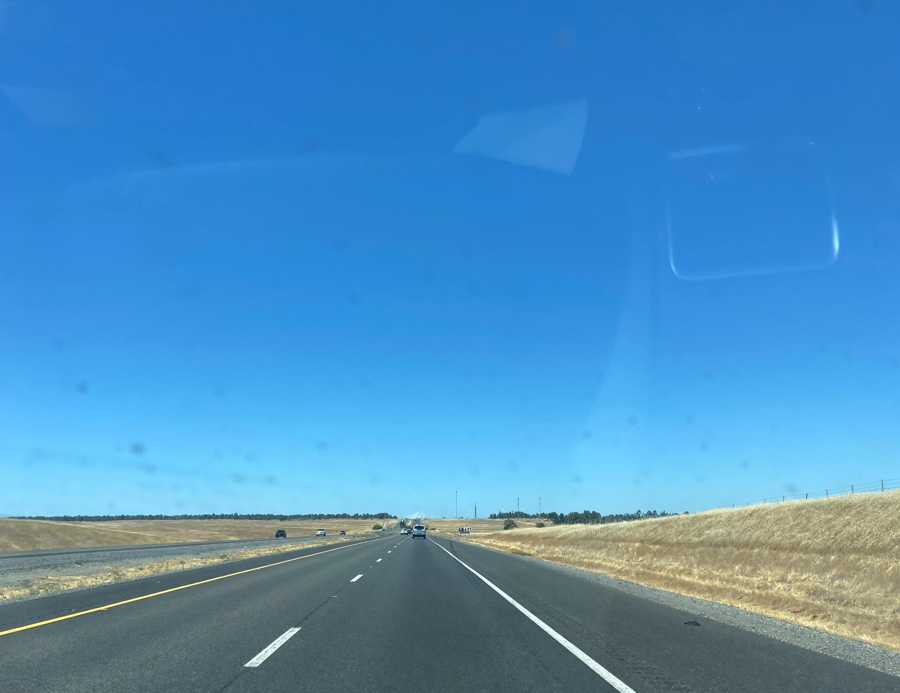
After Colusa County I reach Glenn County and my thoughts begin to drift. This stretch of the drive is frankly extremely boring. It always has been. Making the drive alone I find myself missing the road-trips of my childhood. I wish I could nap. But napping isn’t an option and so I lean hard on other traditions, I put on Meatloaf and sing the entire Bat Out of Hell album at full volume. I turn every license plate into an acronym, and guess out loud what each driver around me is listening to. When I was applying to colleges my dad and I drove down so I could do an interview at St. Mary’s College. About once an hour he would turn to me and go “so tell me a bit about yourself”, and I would groan. I answer that question now, hoping that by practicing I can manifest a job interview.
Crossing into Tehama county is the emotional midpoint of the trip. I pass by Red Bluff, where my mom and I would sometimes meet for lunch (3 hours for each of us), when I was feeling particularly homesick after moving to the city. I cross over into Shasta County, and decide not to stop in Redding.
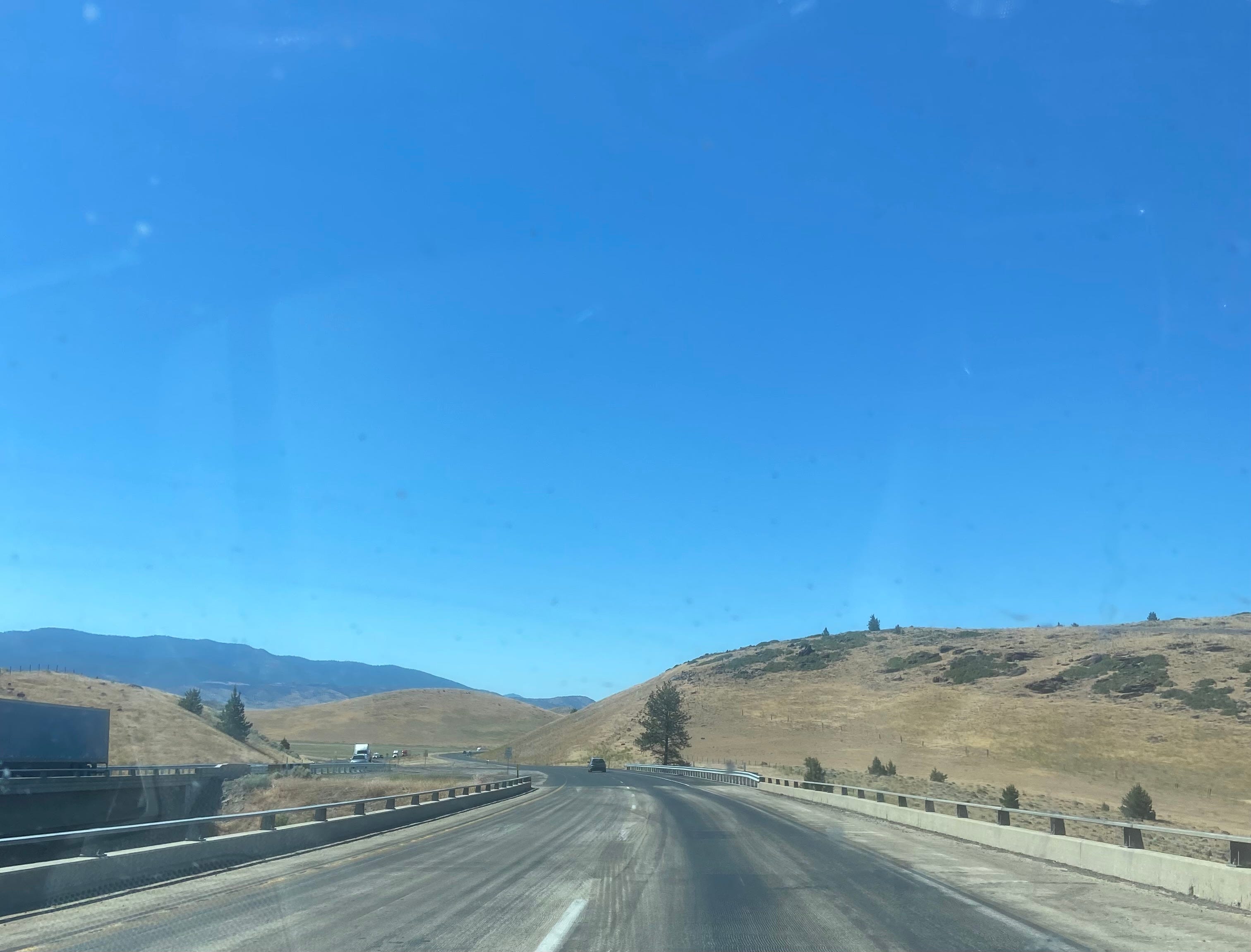
I start to climb, and as soon as I hit the mountains I start to feel like I’m almost home. I’m not. but I’m on the back half and that’s close enough. I cross Shasta Lake, and without even thinking about it I begin to speak out loud, an echo of the conversation my parents had every time we made this trek, “Lake’s looking pretty high right now. Remember last year when it was just a puddle? Look at that, only a few meters off the high water mark.” I make it off the bridge and peer carefully around the next corner. Once Helen and I were driving back from the Bay by ourselves, and we got stuck in an hour and a half of construction traffic around that corner. Turn-your-engine-off traffic. Not this time though, I zoom right through.
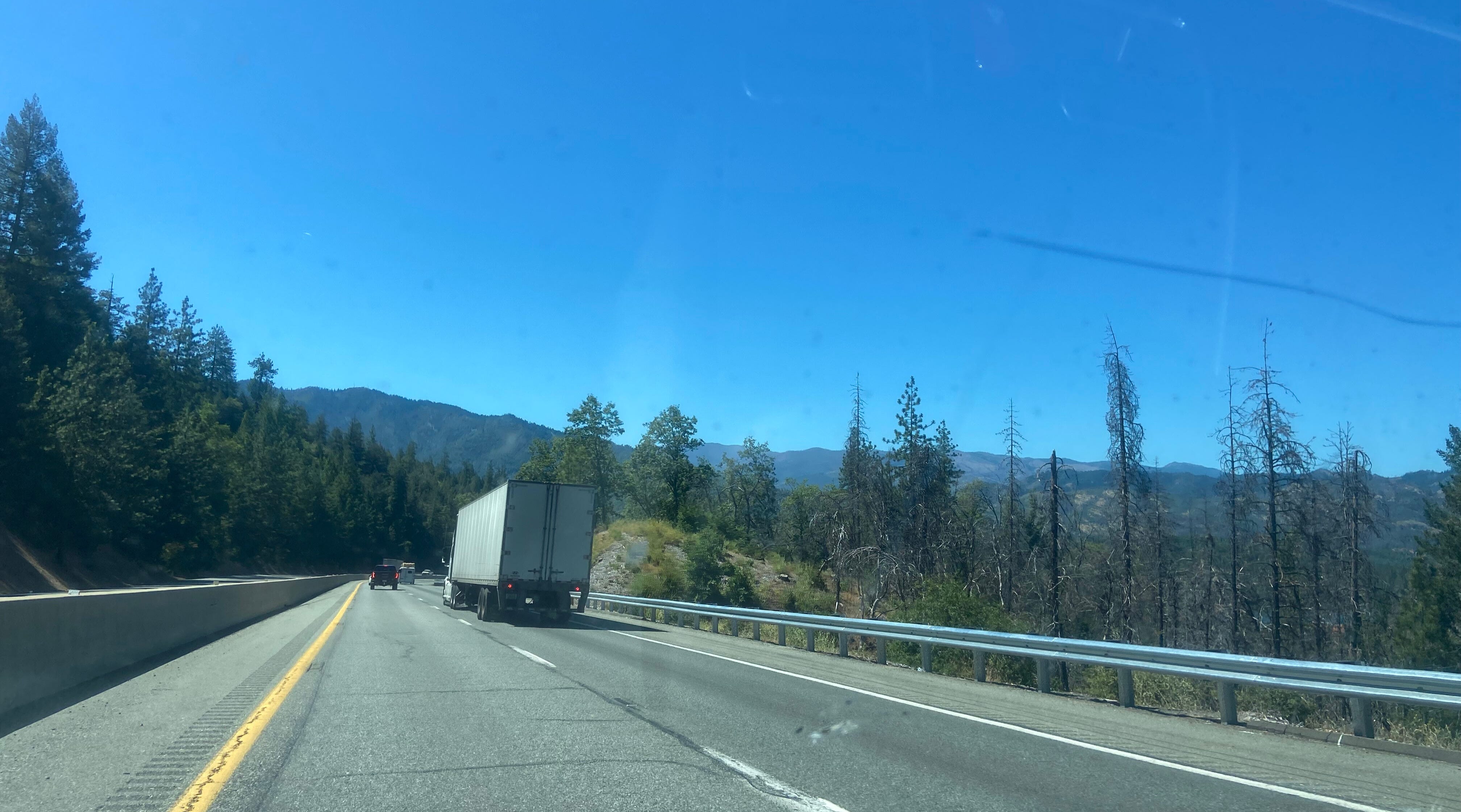
There’s another important corner coming up, and I get my phone out to prepare (don’t come for me, I’m perfectly capable of taking poorly focused iphone photos through my windshield while looking at the road). There’s a burn scar up here that I’ve been documenting for like five years now. I mentioned it in an essay I wrote in 2019, which you can find here. It’s still a gristly sight. There’s been some reforestation efforts, there are some baby trees growing, but it still slashes across the landscape, a weird echo of the clearcutting scars you can see a few minutes up the road.

The fire that left those scars did give us one weird and wonderful story. As I come around yet another corner (it’s a curvy road), I’m greeted by the sight of Pollard Flat. As far as I know, the town of Pollard Flat consists of one building. It used to be a restaurant, with a small gas station attached to it. The first time we ever stopped at Pollard Flat I was still little, young enough that this memory is… hazy. We stopped to use their bathroom, made our way through the weird little store and into the restaurant in the back. Walked to the bathroom, opened the door, froze.
There was a lady in the tub.
It took my mom a moment to realize that she was, in fact, a mannequin, and it took me longer still to believe it. We both used the bathroom under the weird and watchful gaze of the lady, who was positioned to stare straight at you while you pee. Forever after, we would say “I guess we could stop at the lady in the tub”, and she was there every time.
When the fire ripped through that part of the world, it came right up to edge of that restaurant. The gas station outside burned down, the trees all around it are nothing but skeletons. But that little building was untouched. The work of dedicated fire fighters, certainly, but also I suspect a small amount of magic at play here. The lady in the tub would never allow her little kingdom to fall.
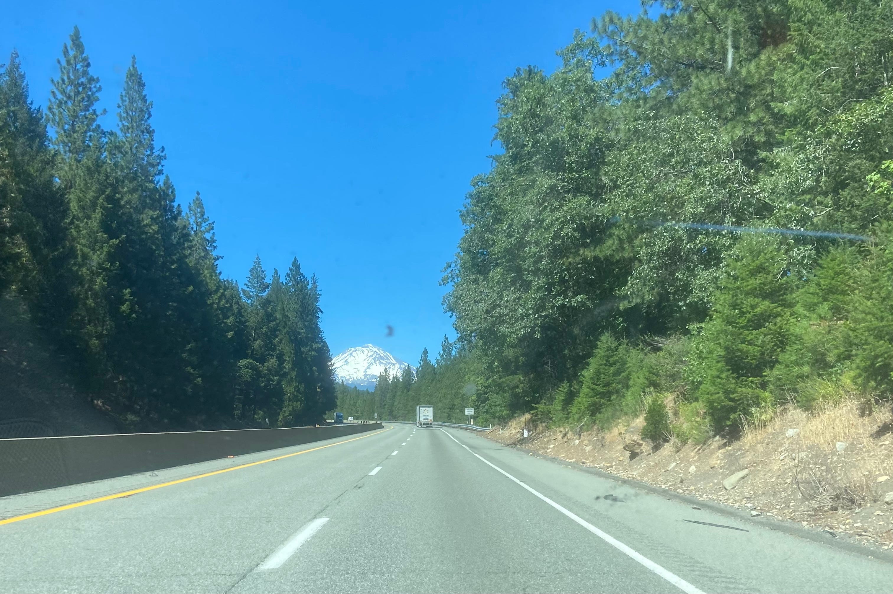
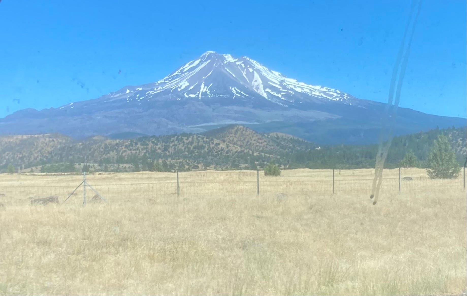
I begin to come down out of the mountains, and catch my first glimpse of Mt. Shasta. To me, Shasta is The Mountain. She teases you along this drive, poking her head up, and then disappearing again. Here she is, smiling for the camera.
Dropping down in Shasta Valley is one of my favorite parts of the trip. I’ve always loved it, and this time is no exception. The mountains fall away, the road drops under you, and suddenly you’re in big sky country. There’s a sense of vastness about Shasta Valley that’s totally at odds with it’s actual size. I pass the rest stop where my dad and I stopped that one time. We were on a trip out towards Yreka to pick up a tool from some guy (maybe a disk sander? There were a few such trips and they get all jumbled). We ended up staying for like 45 minutes to watch some small planes fly around.
Shasta is a minx of a mountain. Driving by her it’s hard to get a sense of her real scale, her real majesty. But once you’ve left her behind, and you’re down in the valley, she’s all you can see in the rearview.
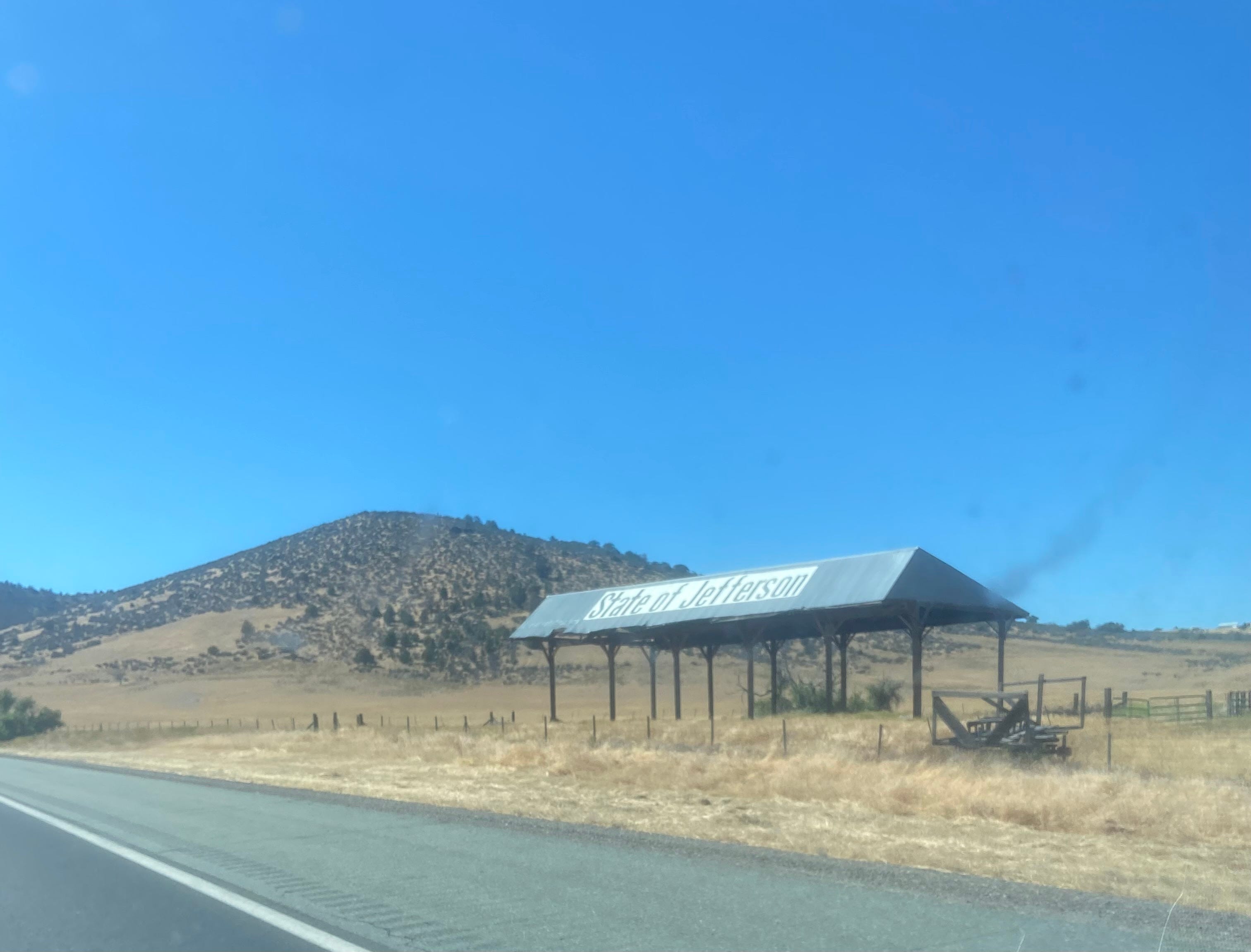
There’s one picture I take every trip, and this trip is no exception. I snap a picture of the State of Jefferson Barn as I pass by. I was recently told that it is perhaps more accurately described as the State of Jefferson Hayshed, seeing as it has no sides, but it just does not roll off the tongue nearly as well. The SJB means I’m almost home. Back in my home state, if you will. It is a fact willingly acknowledged that while I do not agree with the political project that is the State of Jefferson movement, it’s the best shorthand for what I feel is my home region.
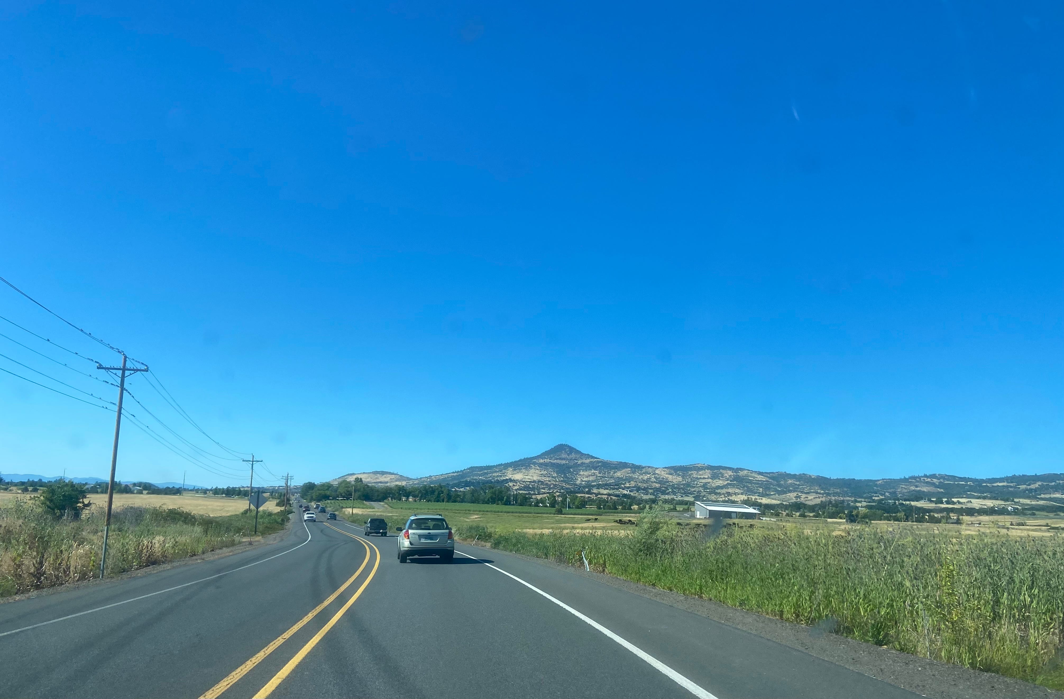
My spirits always lift as I pass the SJB. I start to climb up into the mountains again, knowing that this is the final hurdle. It’s a tall one. I keep my eyes trained for deer even though it’s the middle of the day. I’m not sure exactly where I hit that elk last fall, but it was somewhere along this stretch and I am determined not to repeat the experience. I cross the border into Oregon and keep climbing, my spirits lifting with every foot of elevation gain. I hit the Siskiyou Summit, the highest point on I-5 at 4,311 feet, before beginning the long no-accelerator-necessary descent into the valley. My valley.
I’m restless, impatient to be home. It’s the point where this drive lays most perfectly on top of every other time I’ve done this. Pure impatience, eager for the first sight of the valley, my whole being barreling towards home.
As I drop into the valley the web starts to thicken. There’s Emigrant lake where we used to go for mom’s rowing practices, there’s the turn off for Daniel’s house, there’s that barn I went to one time, there’s the Lithia Springs Hotel where my senior prom was, there’s the road that takes you to Suncrest, there’s the open wound that used to be the east side of Talent.
By the time I get off the freeway, California Grace is gone completely. I’m at home, a place where memory lives so close to the surface that every action is referential. Maybe if I lived here I would fight it harder, but to visit is blissful. All I have to do is relax and let the web close over my head. I’m home.

Sorry this went out so late, I got a bit carried away. Have a great weekend!
Thanks as always for being here.
xoxo,

Absolutely worth the wait!! The only thing missing is a shout out to the 🌈 trucks!
👌Epic. So well captures that feeling although my experience has been more with being in the sky and with fewer landmarks on the approach home. Shasta beckons every time though.